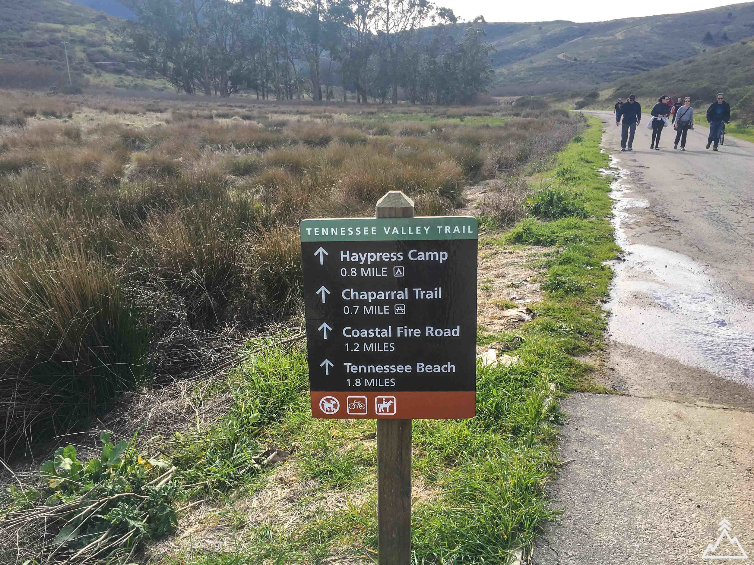
Tennessee Valley Trail to Tennessee Valley Cove
3.8 MILES / 439 FT ELEVATION
Day Hike
SEASON: YEAR-ROUND
This short and easy day hike is a crowd favorite and it's easy to see why. Suitable for anything from trail running to walking with a stroller, this wide and flat out-and-back trail rewards you with a gorgeous beach and some of the best Pacific views at Tennessee Cove. For an extra kicker you can hike up to an outlook north of the cove with an old bunker, or take the Coastal Trail to Muir Beach 2.5 miles away.
PAGE CONTENTS:
HIKE DESCRIPTION
MAPS & GPX
PREPARATION & PRO TIPS
DIRECTIONS
Hike Description
At just under 4 miles and a short drive (~12 miles) from San Francisco, this Marin Headlands hike is popular and often crowded on the weekends. However, the trail is wide enough and beach at the end large enough that you can still have a great refreshing experience without feeling "crowded". The trail is especially great for kids or other hiking beginners.
The trail begins at the parking lot at the end of Tennessee Valley Road. If this parking lot is full, there is a lot of space to park on the edge of the road prior to the parking lot. The dirt trail is wide and meanders through Tennessee Valley towards the coast. After about the first mile, the trail splits and you can either take the upper or lower portion of the trail. The upper portion stays along the hills and offers more views of the cove upon approach. The lower portion of the trail stays along the river. Either way, the trails converge again at the 1.5 mile mark.
At almost two miles, you will reach the beach! It is a great place to hang out and have lunch, or plan a longer stay and play in the water on a nice day. To get a great view, you can take the marked stair trail on the north end of the cove which takes you up, past a first old bunker, and to another bunker at the top along with a view of the cove and valley behind it. These bunkers are anti-aircraft relics from WWII. After your stay, head back along the same trail towards the parking lot. For a bit of diversity, take the upper or lower trail that you didn't take on the way out.
Optional kicker: Want to see Tennessee Cove but think 4 miles isn't enough? You can take the California Coastal Trail north towards Muir Beach to make this a longer hike. Muir beach is 2.5 miles away, which would add 5 miles round trip for a 9 mile hike. This trail is marked and can be found along the upper Tennessee Valley trail about 1.2 miles from the parking lot.
Maps & GPX
With the GPX route downloaded on your phone, you can follow your location against the trail, even in airplane mode or when you have no service. To learn more about GPX files and how to use them, see the GPX 101 page.
You can download the GPX file using the following link --> GPX FILE DOWNLOAD
Trail Map
Elevation Map
Preparation & Pro Tips
- Plan and pack your gear - See our Gear Checklist section for a comprehensive gear checklist and some tips and favorite items of ours.
- Other items - Since you are headed to the beach, bring a towel, bathing suit and book if you plan to stay a while!
- Dogs - No dogs are allowed on this trail.
- Haypress Campground - Want to stay a little longer? You can camp at Haypress Campground which is just under a mile down Tennessee Valley Trail. There are 5 campsites at this site, and they are free. However, you must book in advance by calling the National Park Service. See their website for more details.
Directions
The trailhead begins at Mattole Beach right by Mattole Campground. Click on the directions icon to pull up custom directions in Google Maps.


