Mattole Beach to Shelter Cove
25.3 MILES / 2,120 FT ELEVATION
3 DAYS / 2 NIGHTS wilderness backpacking
SEASON: May - OCTOBER
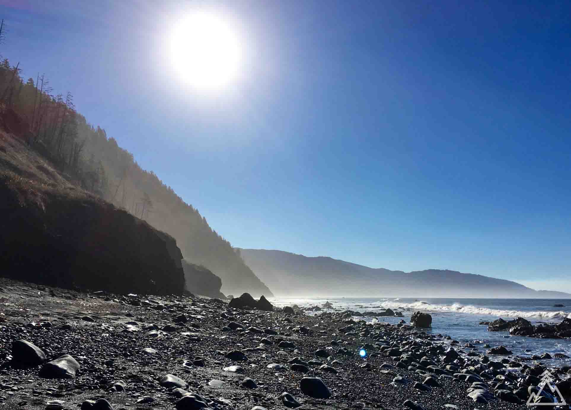
This is a refreshing 3 day ocean-side backpacking trip along the Lost Coast from Mattole Beach to Shelter Cove in the King Range National Conservation Area. The trail is mostly on the beach itself with occasional climbs up and down the earth cliffs making this one of the more challenging 25 mile hikes you can make for the elevation. We strongly recommend bringing hiking poles. That being said, black sand beaches, old-growth forests and a 4,000-foot-high wall of windswept peaks make the trek worth the effort.
PAGE CONTENTS:
HIKE DESCRIPTION
MAPS & GPX
PREPARATION & PRO TIPS
DIRECTIONS
Hike Description
The Lost Coast is a mostly natural and development-free area of the California North Coast in Humboldt and Mendocino Counties, which includes the King Range. It was named the "Lost Coast" after the area experienced depopulation in the 1930s. In addition, the steepness and related geotechnical challenges of the coastal mountains made this stretch of coastline too costly for state highway or county road builders to establish routes through the area, leaving it the most undeveloped and remote portion of the California coast.
DAY 1:
The hike begins at Mattole Beach which has a car campsite, Mattole Campground, and the Lost Coast trailhead which is the drop point for hikers setting out south. It is recommended to make the hike southward as the winds are more commonly at your back and you end your hike in the more inhabited area of Shelter Cove. Most people either camp or get a hotel in or near Shelter Cove the night before beginning the trek, and then take a shuttle from Shelter Cove to Mattole Beach leaving their car in Shelter Cove. The drive north takes roughly 2 hours by private car and more by shuttle so start out early and plan accordingly. See pro tips for more details on lodging and transportation.
Starting from Mattole Beach the trail is pretty exposed and windswept. When we did the hike, we did not get on the trail until 1:30PM due to high-tide. After approximately 1.6 miles or so the trail becomes impassable during high-tide so plan accordingly, see pro tips below for more information on the tides. After approximately 3 miles you will come to Punta Gorda Lighthouse which was first lit in 1912 and ceased being used in 1951.
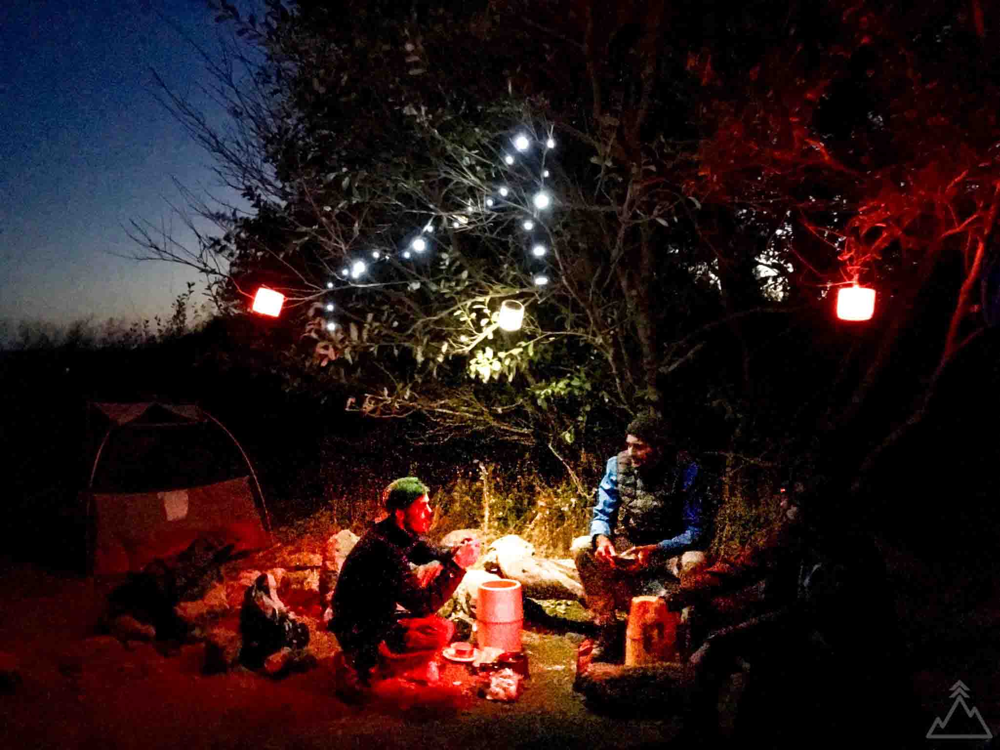
Another area impassable at high tide begins shortly after the Punta Gorda Lighthouse and lasts until Spanish Creek. You can go inland a bit (best up along a stream) and set-up camp within the high tide impassable area. Generally, you can camp whenever you like. Just like in any backcountry location the best campsite generally makes a well previously camped in site. There are many small streams that make great camping spots. In some instances, certain streams are closed for restoration and there will be posted signs. We had planned to camp at Randall Creek but this site was closed so we pushed on to Spanish Creek and arrived just at sunset. The best sites were already claimed many of which have improvised wind breaks from drift wood. We found a small pebble beach along Spanish Creek to call home for the night. Total distance for Day 1 ended up being 10.5 miles.
DAY 2:
Given how much ground we covered the first day we decided to take it easy on the second day and find a great campsite. We continued to Big Flat Creek 6.2 miles away. There are no high tide impassable sections during this segment so we did not need to worry about the morning high-tide. We were the first to set up camp at a large campsite north of Big Flat Creek not far from the large pool of water that animals, hikers, and surfers alike use to refresh themselves. We were thoroughly impressed by the surfers who came north from Shelter Cover with their surfing boards strapped on their back to catch some waves. We spent the day exploring the surroundings and generally enjoying this great campsite.
DAY 3:
The next day we made our way out to Shelter Cove. The first section after Big Flat Creek is impassable at high-tide until a bit after Buck Creek. This was the best part of the hike in our opinion. The tree line comes close to the sea, the sand becomes much blacker, there are frequent streams and grottos to recover from the sun and the wind was much less of an issue. You will know when you are getting close to Shelter Cove when you start running into day hikers and people having picnics on the beach. If we were to do it again we would probably spend a night in this section of the trail along one of the may streams.
Maps & GPX
With the GPX route downloaded on your phone, you can follow your location against the trail, even in airplane mode or when you have no service. To learn more about GPX files and how to use them, see the GPX 101 page.
You can download the GPX file using the following link --> GPX FILE DOWNLOAD
Trail Map
Elevation Map
Preparation & Pro Tips
- Get your permit - You can reserve your permit at Recreation.gov, and the site also provides useful updates on trail conditions.
- Book your shuttle - To get to the trailhead, most people book a shuttle to get from where they leave their car in Shelter Cove to the trailhead at Mattole Beach. Two shuttle company options are Lost Coast Adventures and Mendo Insider Tours.
- Tide considerations - Portions of the trail are impassable at high tide. Make sure you are aware of the tide tables so you can plan your trek around the high and low tides. There are 3 portions of the trail made impassable by high tide, as indicated on this map. You should plan to start passing these areas 2-3 hours before low tide to give yourself enough time. The three areas made impassible by high tide are:
1. Punta Gorda
2, Sea Lion Gulch to Randall Creek
3. Miller Flat to about one mile south of Buck Creek
- Bathroom rules - Along this trail, it is required to dispose of waste on the beach below the high tide line so that it can be washed away. Do not dispose of waste near a creek.
- Bear canister - Bear canisters are required to be used for this trail; you can get a ticket if a ranger catches you without one.
- Plan and pack your gear - See our Gear Checklist section for a comprehensive gear checklist and some tips and favorite items of ours.
- Accommodations - There are many options to choose from in terms of accommodation near the trail head. We opted to stay at Inn of the Lost Coast which worked out well. There are many other hotel or camping options in the Shelter Cove area, or you can opt to camp at Mattole Campground the night before you begin the trek.
Directions
The trailhead begins at Mattole Beach right by Mattole Campground. Click on the directions icon to pull up custom directions in Google Maps.


