Fourth of July Trailhead to Diamond Lake
6.0 MILES / 1,639 FT ELEVATION
day hike
SEASON: march - October
This 6 mile out-and-back trail takes you to the shores of beautiful Diamond Lake in the Indian Peaks Wilderness of Colorado. Diamond Lake is an alpine lake forged from centuries of glacier activity in the Colorado rockies. Middle Diamond Lake and Upper Diamond Lake are also reachable by adding another 2.5 miles onto the hike round-trip. On this hike you will encounter countless Aspen groves, waterfalls from North Fork Middle Boulder Creek, and fantastic views of the lake. At only an hour drive from Boulder, this is a must-do hike for anyone living in or visiting Colorado.
PAGE CONTENTS:
HIKE DESCRIPTION
MAPS & GPX
PREPARATION & PRO TIPS
DIRECTIONS
Hike Description
Indian Peaks Wilderness in north central Colorado includes 7 peaks over 13,000 ft tall and a large array of trails and glacier-carved lakes to explore. One of the popular trails is the 6 mile out-and-back Diamond Lake Trail which takes you to the shores of this almost 11,000 ft high alpine lake. You can reach this lake about an hour drive west of Boulder by taking 4th of July Road to the trailhead. See the Directions section below for more details.
As you drive in, you will be greeted by a dirt road flanked with Aspen trees on either side. These trees are unique in that each individual visible tree is actually only one portion of a much larger root-connected organism. If you go in the fall get ready to be wowed by the vibrant orange and yellow leaves.
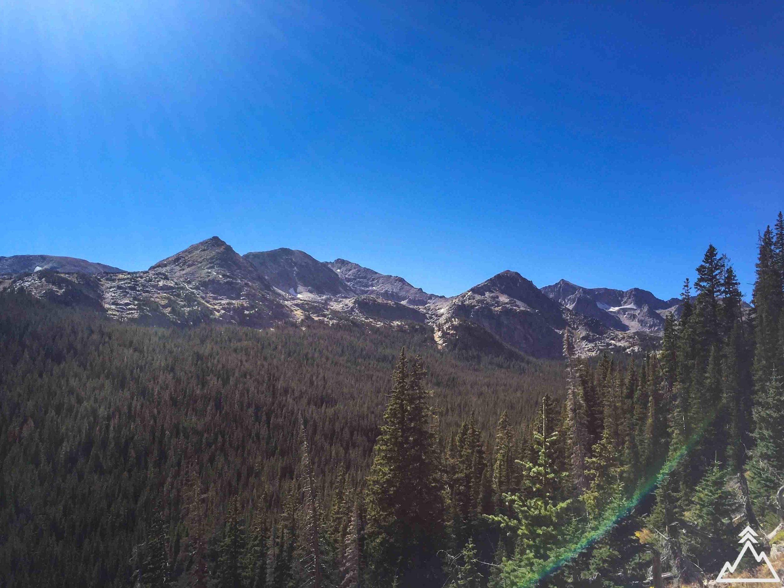
You begin the hike by taking the Arapaho Pass Trail north which ascends the valley, climbing about 650 ft over 1.2 miles until you hit the trail split. This first section of the hike is a great way to get panoramic views of the mountains to the west.
Take the trail to the left to continue heading towards Diamond Lake. You descend back down into the valley to cross over North Fork Middle Boulder Creek, which offers fantastic views of the river along with some small waterfalls.
After passing the creek, you continue west and climb another mile to reach the shore of Diamond Lake. Just prior to the lake you will hit a grassy meadow. This area of the trail is made up of a raised walkable wooden path to prevent your feet from getting wet.
Pick a dry spot around the shore of the lake to take a rest. You are also allowed to fish in the lake if you have a permit. On our trip, we saw someone with an inflatable stand-up paddle board at the lake! You can continue west around the lake to get additional views. From the west end of the lake, you can also choose to continue on Upper Diamond Lake Route to reach Middle Diamond Lake and Upper Diamond Lake which adds 2.5 miles and 800 ft of elevation to your hike round trip. You can also camp by the lake; for more information, see the Preparation & Pro Tips section below.
Maps & GPX
With the GPX route downloaded on your phone, you can follow your location against the trail, even in airplane mode or when you have no service. To learn more about GPX files and how to use them, see the GPX 101 page.
You can download the GPX file using the following link --> GPX FILE DOWNLOAD
Trail Map
Elevation Map
Preparation & Pro Tips
- Getting to the trailhead/winter access - Getting to the trailhead requires 5 miles of driving on a relatively rough dirt road. 4WD is not necessary however. In winter it may not be possible to access the trailhead by car. Check on weather conditions before planning your hike. You can see more about the trailhead and trail conditions at the USDA website here.
- Backpacking - If you would like to backpack and camp overnight in this area, you need to apply for a permit if you plan to visit June 1 - September 15 or if you are in a large group. You can apply for a $5 overnight permit here. If you plan to camp on the shores of Diamond Lake you must get a permit for one of the designated camping sites. Fires are not allowed at these sites.
- Nederland - Nederland, Colorado is the town closest to the trailhead, where you can grab food at the market, pizza place or cafe prior to or after you hike. Or, bring some food with you to eat on the shore of the lake.
- Plan and pack your gear - See our Gear Checklist section for a comprehensive gear checklist and some tips and favorite items of ours.
Directions
The trailhead begins at the end of 4th of July Road. This dirt road is passable by car but can be bumpy and rocky. Click on the directions icon to pull up custom directions in Google Maps.


